
Mörlunda topographic map
Interactive map
Click on the map to display elevation.
About this map
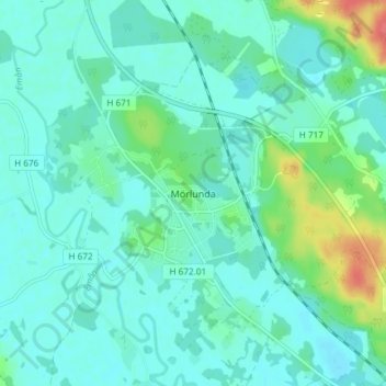
Name: Mörlunda topographic map, elevation, terrain.
Location: Mörlunda, Hultsfreds kommun, Kalmar County, Sweden (57.30330 15.84531 57.34330 15.88531)
Average elevation: 96 m
Minimum elevation: 85 m
Maximum elevation: 140 m