
Berleur topographic map
Interactive map
Click on the map to display elevation.
About this map
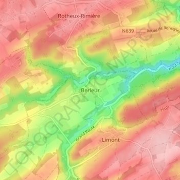
Name: Berleur topographic map, elevation, terrain.
Location: Berleur, Anthisnes, Huy, Liège, Wallonie, 4163, Belgique (50.49877 5.46512 50.53877 5.50512)
Average elevation: 222 m
Minimum elevation: 133 m
Maximum elevation: 280 m