
Monte Perone topographic map
Interactive map
Click on the map to display elevation.
About this map
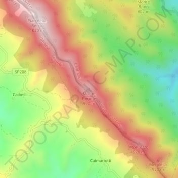
Name: Monte Perone topographic map, elevation, terrain.
Location: Monte Perone, Cantiano, Pesaro e Urbino, Marches, Italie (43.46399 12.56059 43.46409 12.56069)
Average elevation: 764 m
Minimum elevation: 512 m
Maximum elevation: 1,003 m
Other topographic maps
Click on a map to view its topography, its elevation and its terrain.