
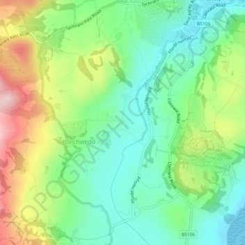
Groesffordd topographic map
Interactive map
Click on the map to display elevation.
About this map
Name: Groesffordd topographic map, elevation, terrain.
Location: Groesffordd, Conwy, Wales, United Kingdom (53.26482 -3.84853 53.26667 -3.84662)
Average elevation: 85 m
Minimum elevation: 0 m
Maximum elevation: 240 m