
Ivagnas topographic map
Interactive map
Click on the map to display elevation.
About this map
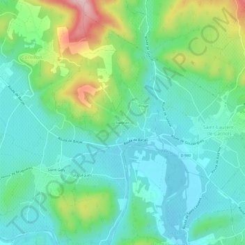
Name: Ivagnas topographic map, elevation, terrain.
Average elevation: 123 m
Minimum elevation: 58 m
Maximum elevation: 302 m
Other topographic maps
Click on a map to view its topography, its elevation and its terrain.
Saint-Gely
France > Occitanie > Gard > Cornillon
Saint-Gely, Cornillon, Nîmes, Gard, Occitanie, France métropolitaine, 30630, France
Average elevation: 106 m