
Lynebeg topographic map
Interactive map
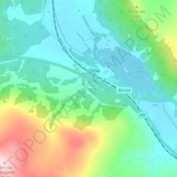
Click on the map to display elevation.
About this map
Name: Lynebeg topographic map, elevation, terrain.
Location: Lynebeg, Moy, Highland, Scotland, IV13 7YF, United Kingdom (57.35895 -4.07420 57.39895 -4.03420)
Average elevation: 357 m
Minimum elevation: 265 m
Maximum elevation: 616 m
Other topographic maps
Click on a map to view its topography, its elevation and its terrain.