
Kapenguria topographic map
Interactive map
Click on the map to display elevation.
About this map
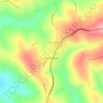
Name: Kapenguria topographic map, elevation, terrain.
Location: Kapenguria, West Pokot Subcounty, West Pokot, Rift Valley, Kenya (1.24582 35.08648 1.26202 35.10012)
Average elevation: 2,036 m
Minimum elevation: 1,958 m
Maximum elevation: 2,099 m