
Anantpura topographic map
Interactive map
Click on the map to display elevation.
About this map
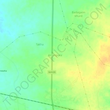
Name: Anantpura topographic map, elevation, terrain.
Average elevation: 344 m
Minimum elevation: 330 m
Maximum elevation: 358 m
Other topographic maps
Click on a map to view its topography, its elevation and its terrain.
Tikamgarh
India > Madhya Pradesh > Tikamgarh Tahsil
Tikamgarh, Tikamgarh Tahsil, Tikamgarh District, Madhya Pradesh, 472001, India
Average elevation: 349 m