
Lac du Canard topographic map
Interactive map
Click on the map to display elevation.
About this map
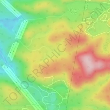
Name: Lac du Canard topographic map, elevation, terrain.
Average elevation: 432 m
Minimum elevation: 315 m
Maximum elevation: 565 m
Other topographic maps
Click on a map to view its topography, its elevation and its terrain.
Lac J'En-Peux-Plus
Canada > Québec > Les Laurentides > Montcalm
Lac J'En-Peux-Plus, Montcalm, Les Laurentides, Laurentides, Québec, Canada
Average elevation: 418 m