
Manshiyat al Awqaf topographic map
Interactive map
Click on the map to display elevation.
About this map
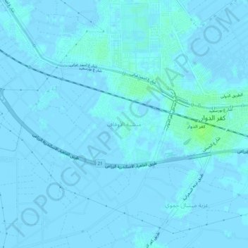
Name: Manshiyat al Awqaf topographic map, elevation, terrain.
Location: Manshiyat al Awqaf, The Lake, 22621, Egypt (31.11178 30.09675 31.15178 30.13675)
Average elevation: 1 m
Minimum elevation: -3 m
Maximum elevation: 8 m
Other topographic maps
Click on a map to view its topography, its elevation and its terrain.
Ezbet Antoniadis al Qibliya
Ezbet Antoniadis al Qibliya, Beida, The Lake, 22629, Egypt
Average elevation: 0 m