
Khorda topographic map
Interactive map
Click on the map to display elevation.
About this map
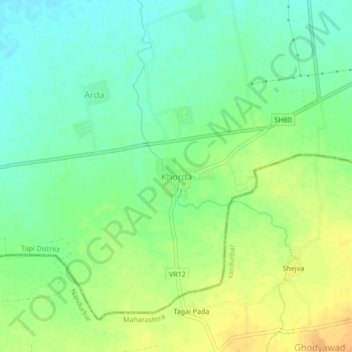
Name: Khorda topographic map, elevation, terrain.
Location: Khorda, Nizar Taluka, Tapi District, Gujarat, 394380, India (21.44463 74.09043 21.48463 74.13043)
Average elevation: 117 m
Minimum elevation: 103 m
Maximum elevation: 135 m