
Caledon East topographic map
Interactive map
Click on the map to display elevation.
About this map
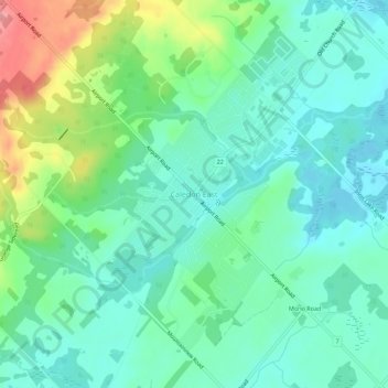
Name: Caledon East topographic map, elevation, terrain.
Average elevation: 308 m
Minimum elevation: 278 m
Maximum elevation: 385 m
Other topographic maps
Click on a map to view its topography, its elevation and its terrain.
Caledon
Canada > Ontario > Peel Region > Caledon
Caledon, Peel Region, Golden Horseshoe, Ontario, Canada
Average elevation: 331 m