
Jama topographic map
Interactive map
Click on the map to display elevation.
About this map
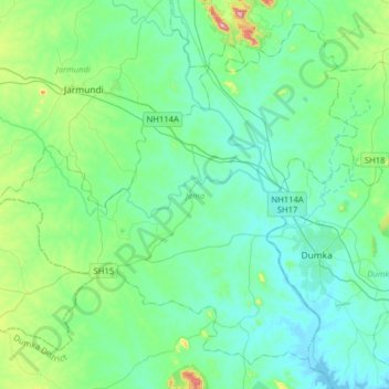
Name: Jama topographic map, elevation, terrain.
Location: Jama, Dumka, Jharkhand, 814110, Indien (24.18620 86.98450 24.43959 87.30236)
Average elevation: 178 m
Minimum elevation: 117 m
Maximum elevation: 471 m