
Fântânele topographic map
Interactive map
Click on the map to display elevation.
About this map
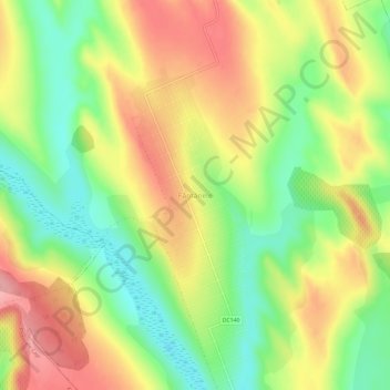
Name: Fântânele topographic map, elevation, terrain.
Location: Fântânele, Iași, 707196, Romania (47.39498 27.16066 47.43498 27.20066)
Average elevation: 115 m
Minimum elevation: 56 m
Maximum elevation: 176 m