
Sukadana topographic map
Interactive map
Click on the map to display elevation.
About this map
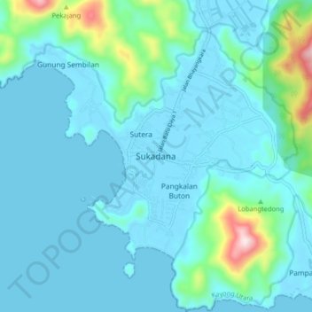
Name: Sukadana topographic map, elevation, terrain.
Location: Sukadana, Kayong Utara, West Kalimantan, Indonesia (-1.27835 109.91634 -1.19835 109.99634)
Average elevation: 67 m
Minimum elevation: -1 m
Maximum elevation: 525 m