
Silva Duta topographic map
Interactive map
Click on the map to display elevation.
About this map
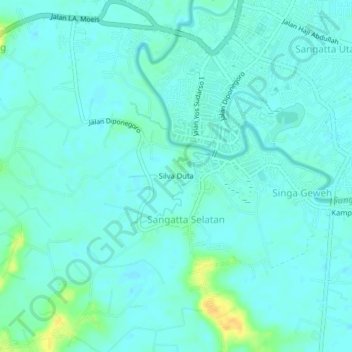
Name: Silva Duta topographic map, elevation, terrain.
Location: Silva Duta, Sangatta Selatan, East Kalimantan, Indonesia (0.46141 117.50596 0.50141 117.54596)
Average elevation: 6 m
Minimum elevation: 0 m
Maximum elevation: 27 m