
Thank you for supporting this site ❤️
Make a donation
Make a donation
Gear up for your next adventure:
As an Amazon Associate, this site earns from qualifying purchases at no extra cost to you.
Ananta topographic map
Click on the map to display elevation.
Thank you for supporting this site ❤️
Make a donation
Make a donation
Gear up for your next adventure:
As an Amazon Associate, this site earns from qualifying purchases at no extra cost to you.
About this map
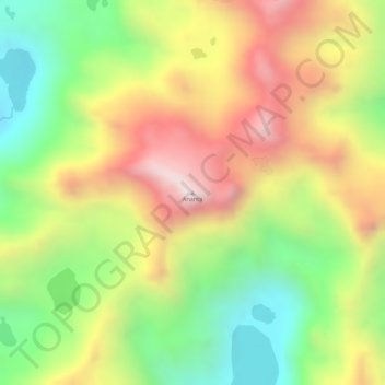
Name: Ananta topographic map, elevation, terrain.
Location: Ananta, Corani, Carabaya, Puno, Perú (-13.81397 -70.62060 -13.81387 -70.62050)
Average elevation: 4,964 m
Minimum elevation: 4,634 m
Maximum elevation: 5,292 m
Thank you for supporting this site ❤️
Make a donation
Make a donation
Gear up for your next adventure:
As an Amazon Associate, this site earns from qualifying purchases at no extra cost to you.