
Ropažu pagasts topographic map
Interactive map
Click on the map to display elevation.
About this map
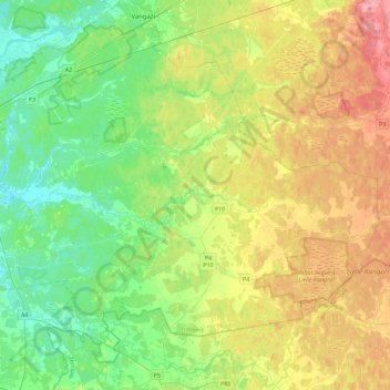
Name: Ropažu pagasts topographic map, elevation, terrain.
Location: Ropažu pagasts, Ropažu novads, Vidzeme, Lettonie (56.88906 24.36676 57.06812 24.82087)
Average elevation: 38 m
Minimum elevation: 1 m
Maximum elevation: 100 m