
Malaking Tubig River topographic map
Interactive map
Click on the map to display elevation.
About this map
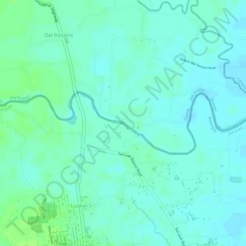
Name: Malaking Tubig River topographic map, elevation, terrain.
Average elevation: 14 m
Minimum elevation: 9 m
Maximum elevation: 20 m
Other topographic maps
Click on a map to view its topography, its elevation and its terrain.
Hugom
Philippines > Batangas > San Juan > Hugom
Hugom, San Juan, Batangas, Calabarzon, Philippines
Average elevation: 76 m