
Keavy topographic map
Interactive map
Click on the map to display elevation.
About this map
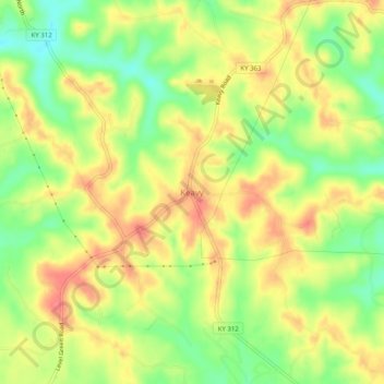
Name: Keavy topographic map, elevation, terrain.
Location: Keavy, Laurel County, Kentucky, 40737, United States (36.98370 -84.18104 37.02370 -84.14104)
Average elevation: 363 m
Minimum elevation: 327 m
Maximum elevation: 393 m