
Ashland topographic map
Interactive map
Click on the map to display elevation.
About this map
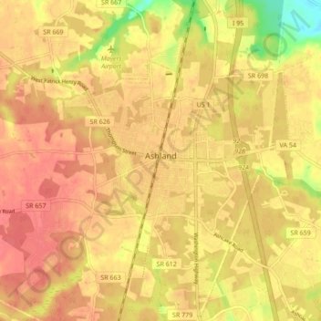
Name: Ashland topographic map, elevation, terrain.
Location: Ashland, Hanover County, Virginia, 23005, United States (37.72453 -77.50056 37.79207 -77.44640)
Average elevation: 66 m
Minimum elevation: 28 m
Maximum elevation: 82 m
Other topographic maps
Click on a map to view its topography, its elevation and its terrain.
Holly Ridge
United States > Virginia > Hanover County > Holly Ridge
Holly Ridge, Hanover County, Virginia, 23116, United States
Average elevation: 51 m