
Batha' topographic map
Interactive map
Click on the map to display elevation.
About this map
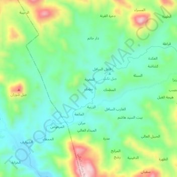
Name: Batha' topographic map, elevation, terrain.
Location: Batha', Wusab Al Ali District, Dhamar Governorate, Yemen (14.22655 43.72504 14.26655 43.76504)
Average elevation: 903 m
Minimum elevation: 791 m
Maximum elevation: 1,144 m