
Khandas topographic map
Interactive map
Click on the map to display elevation.
About this map
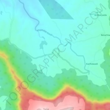
Name: Khandas topographic map, elevation, terrain.
Location: Khandas, Karjat, Raigad, Maharashtra, India (19.04401 73.46953 19.08401 73.50953)
Average elevation: 202 m
Minimum elevation: 104 m
Maximum elevation: 506 m