
L B Nagar topographic map
Interactive map
Click on the map to display elevation.
About this map
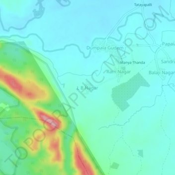
Name: L B Nagar topographic map, elevation, terrain.
Location: L B Nagar, Govindaraopet mandal, Mulugu, Telangana, India (18.14346 80.10015 18.18346 80.14015)
Average elevation: 181 m
Minimum elevation: 149 m
Maximum elevation: 307 m