
Vithura topographic map
Interactive map
Click on the map to display elevation.
About this map
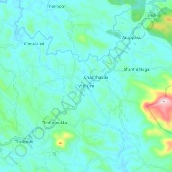
Name: Vithura topographic map, elevation, terrain.
Location: Vithura, Nedumangad, Thiruvananthapuram, Kerala, 695551, India (8.63000 77.04500 8.71000 77.12500)
Average elevation: 132 m
Minimum elevation: 72 m
Maximum elevation: 458 m
Other topographic maps
Click on a map to view its topography, its elevation and its terrain.
Chayam
India > Kerala > Nedumangad > Vithura
Chayam, Vithura, Nedumangad, Thiruvananthapuram District, Kerala, 695551, India
Average elevation: 117 m