
Luanda topographic map
Interactive map
Click on the map to display elevation.
About this map
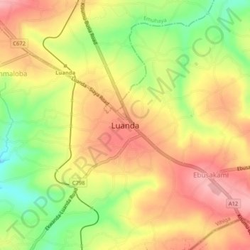
Name: Luanda topographic map, elevation, terrain.
Location: Luanda, Vihiga County, West Kenya, Kenya (0.00498 34.56512 0.04498 34.60512)
Average elevation: 1,493 m
Minimum elevation: 1,420 m
Maximum elevation: 1,548 m