
Garden City topographic map
Interactive map
Click on the map to display elevation.
About this map
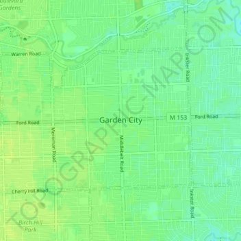
Name: Garden City topographic map, elevation, terrain.
Location: Garden City, Wayne County, Michigan, United States (42.31017 -83.37941 42.34064 -83.31087)
Average elevation: 194 m
Minimum elevation: 187 m
Maximum elevation: 200 m
Other topographic maps
Click on a map to view its topography, its elevation and its terrain.
Kresge Ford Basement Courtyard
United States > Michigan > Wayne County > Detroit
Average elevation: 193 m
Greenfield Village
United States > Michigan > Wayne County > Greenfield Village
Average elevation: 184 m