
Ikwiriri topographic map
Interactive map
Click on the map to display elevation.
About this map
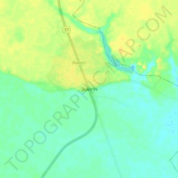
Name: Ikwiriri topographic map, elevation, terrain.
Location: Ikwiriri, Rufiji, Pwani Region, Coastal Zone, Tanzania (-7.99774 38.94795 -7.91774 39.02795)
Average elevation: 20 m
Minimum elevation: 10 m
Maximum elevation: 34 m
Other topographic maps
Click on a map to view its topography, its elevation and its terrain.