
Namanga topographic map
Interactive map
Click on the map to display elevation.
About this map
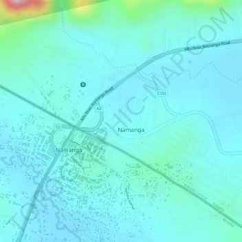
Name: Namanga topographic map, elevation, terrain.
Location: Namanga, Kajiado County, Kenya (-2.55960 36.77783 -2.53449 36.80395)
Average elevation: 1,327 m
Minimum elevation: 1,291 m
Maximum elevation: 1,540 m