Geolocate

Weatherly Heights topographic map

Interactive map

Click on the map to display elevation.

About this map

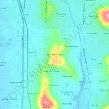
Name: Weatherly Heights topographic map, elevation, terrain.

Location: Weatherly Heights, Huntsville, Madison County, Alabama, 35803, United States (34.61676 -86.57277 34.65676 -86.53277)

Average elevation: 197 m

Minimum elevation: 174 m

Maximum elevation: 312 m

Other topographic maps

Click on a map to view its topography, its elevation and its terrain.

Camelot

United States > Alabama > Madison County > Huntsville

Camelot, Huntsville, Madison County, Alabama, 35803, United States

Average elevation: 269 m

Oak Park

United States > Alabama > Madison County > Huntsville

Oak Park, Huntsville, Madison County, Alabama, 35801, United States

Average elevation: 281 m

South Gate

United States > Alabama > Madison County > Huntsville > South Gate

South Gate, Huntsville, Madison County, Alabama, 35803, United States

Average elevation: 200 m