
Klerken topographic map
Interactive map
Click on the map to display elevation.
About this map
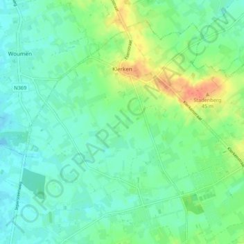
Name: Klerken topographic map, elevation, terrain.
Location: Klerken, Houthulst, Diksmuide, West Flanders, 8650, Belgium (50.97262 2.89615 51.00841 2.94048)
Average elevation: 15 m
Minimum elevation: 2 m
Maximum elevation: 42 m