
Sugar Loaf Mountain topographic map
Interactive map
Click on the map to display elevation.
About this map
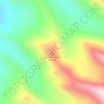
Name: Sugar Loaf Mountain topographic map, elevation, terrain.
Location: Sugar Loaf Mountain, Park County, Montana, United States (46.09378 -110.44580 46.09388 -110.44570)
Average elevation: 2,343 m
Minimum elevation: 2,032 m
Maximum elevation: 2,808 m
Other topographic maps
Click on a map to view its topography, its elevation and its terrain.
Livingston
United States > Montana > Park County
Livingston is located at 45°39′32″N 110°33′49″W / 45.65889°N 110.56361°W / 45.65889; -110.56361 (45.658840, -110.563718), at an elevation of 4,501 feet (1372 m).
Average elevation: 1,421 m