
Fire Lake topographic map
Interactive map
Click on the map to display elevation.
About this map
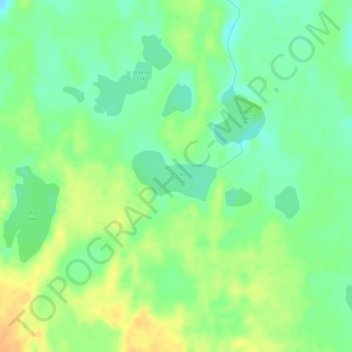
Name: Fire Lake topographic map, elevation, terrain.
Location: Fire Lake, Kenai Peninsula, Alaska, États-Unis d'Amérique (60.43762 -150.55803 60.44152 -150.54446)
Average elevation: 79 m
Minimum elevation: 65 m
Maximum elevation: 96 m