
Hung Yen City topographic map
Interactive map
Click on the map to display elevation.
About this map
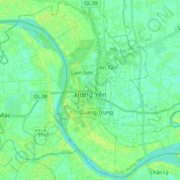
Name: Hung Yen City topographic map, elevation, terrain.
Location: Hung Yen City, Hưng Yên Province, Vietnam (20.60310 106.00432 20.71641 106.12925)
Average elevation: 5 m
Minimum elevation: -1 m
Maximum elevation: 12 m
Other topographic maps
Click on a map to view its topography, its elevation and its terrain.
Bắc Hưng Hải River
Vietnam > Hung Yen Province > Văn Giang District > Hà Nội > Xã Bát Tràng
Average elevation: 9 m