
Igbanke topographic map
Interactive map
Click on the map to display elevation.
About this map
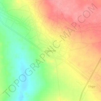
Name: Igbanke topographic map, elevation, terrain.
Location: Igbanke, Orhionmwon, Edo State, Nigeria (6.32352 6.18468 6.36352 6.22468)
Average elevation: 175 m
Minimum elevation: 120 m
Maximum elevation: 223 m
Other topographic maps
Click on a map to view its topography, its elevation and its terrain.