
Pozhoran topographic map
Interactive map
Click on the map to display elevation.
About this map
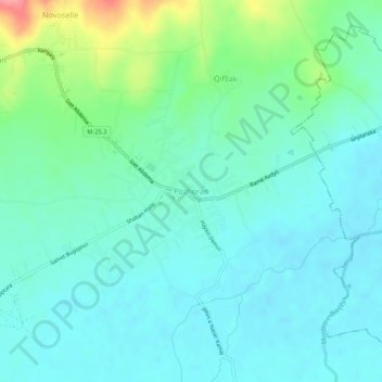
Name: Pozhoran topographic map, elevation, terrain.
Location: Pozhoran, Municipality of Vitina, 61060, Kosovo (42.34445 21.32117 42.38445 21.36117)
Average elevation: 504 m
Minimum elevation: 484 m
Maximum elevation: 572 m