
Aldine topographic map
Interactive map
Click on the map to display elevation.
About this map
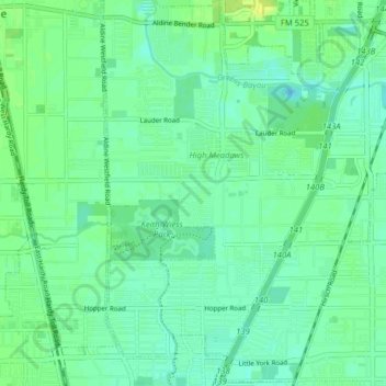
Name: Aldine topographic map, elevation, terrain.
Location: Aldine, Harris County, Texas, 77039, United States (29.86645 -95.37886 29.93342 -95.29966)
Average elevation: 22 m
Minimum elevation: 15 m
Maximum elevation: 32 m
Other topographic maps
Click on a map to view its topography, its elevation and its terrain.