
Лясная topographic map
Interactive map
Click on the map to display elevation.
Лясная
In England, the word hamlet (having the French origin given at the top of this article) means (in current usage) simply a small settlement, maybe of a few houses or farms, smaller than a village. However traditionally and legally, it means a village or a town without a church, although hamlets are recognised as part of land use planning policies and administration. Historically, it may refer to a secondary settlement in a civil parish, after the main settlement (if any); such an example is the hamlet of Chipping being the secondary settlement within the civil parish of Buckland. Hamlets may have been formed around a single source of economic activity such as a farm, mill, mine or harbour that employed its working population. Some hamlets may be the result of the depopulation of a village; examples of such a hamlet are Graby and Shapwick. Because of the hilly topography of the parish, the village of Clent, situated on the Clent Hills, consists of five distinct hamlets.
About this map
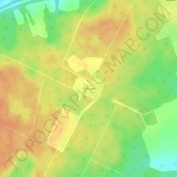
Name: Лясная topographic map, elevation, terrain.
Average elevation: 173 m
Minimum elevation: 149 m
Maximum elevation: 187 m