
Thana topographic map
Interactive map
Click on the map to display elevation.
About this map
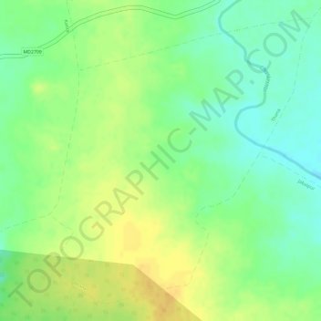
Name: Thana topographic map, elevation, terrain.
Location: Thana, Satwas Tahsil, Dewas District, Madhya Pradesh, India (22.54526 76.54012 22.56931 76.56406)
Average elevation: 339 m
Minimum elevation: 323 m
Maximum elevation: 351 m