
Coolamber ED topographic map
Interactive map
Click on the map to display elevation.
About this map
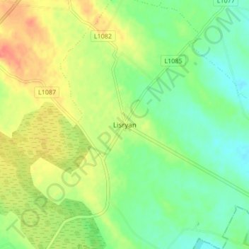
Name: Coolamber ED topographic map, elevation, terrain.
Location: Coolamber ED, Lisryan, County Longford, Leinster, Ireland (53.70776 -7.52343 53.74776 -7.48343)
Average elevation: 91 m
Minimum elevation: 70 m
Maximum elevation: 118 m