
Mahuta topographic map
Interactive map
Click on the map to display elevation.
About this map
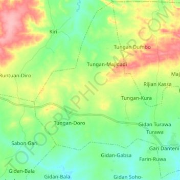
Name: Mahuta topographic map, elevation, terrain.
Location: Mahuta, Fakai, Kebbi State, Nigeria (11.53011 4.88755 11.64703 5.00891)
Average elevation: 288 m
Minimum elevation: 249 m
Maximum elevation: 358 m