
Arusi topographic map
Interactive map
Click on the map to display elevation.
About this map
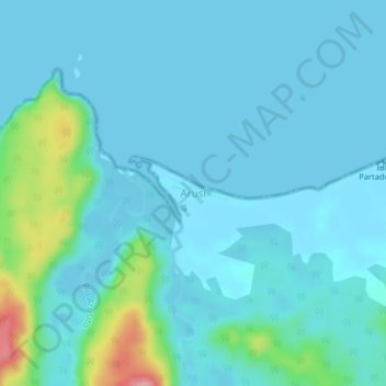
Name: Arusi topographic map, elevation, terrain.
Location: Arusi, Nuquí, Chocó, Colombia (5.57534 -77.49416 5.61534 -77.45416)
Average elevation: 17 m
Minimum elevation: -1 m
Maximum elevation: 126 m