
Lillsved topographic map
Interactive map
Click on the map to display elevation.
About this map
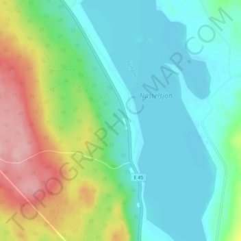
Name: Lillsved topographic map, elevation, terrain.
Location: Lillsved, Bergs kommun, Jämtland County, Sweden (62.55252 14.42909 62.59252 14.46909)
Average elevation: 391 m
Minimum elevation: 352 m
Maximum elevation: 486 m
Other topographic maps
Click on a map to view its topography, its elevation and its terrain.