
Santiago Yeche topographic map
Interactive map
Click on the map to display elevation.
About this map
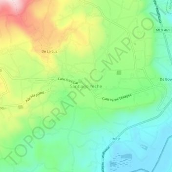
Name: Santiago Yeche topographic map, elevation, terrain.
Location: Santiago Yeche, Jocotitlán, Estado de México, México (19.68600 -99.72514 19.72600 -99.68514)
Average elevation: 2,684 m
Minimum elevation: 2,540 m
Maximum elevation: 2,944 m