
Ibn Al Fared topographic map
Interactive map
Click on the map to display elevation.
About this map
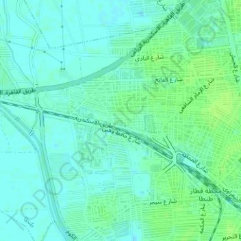
Name: Ibn Al Fared topographic map, elevation, terrain.
Location: Ibn Al Fared, Tanta, Western, Egypt (30.78367 30.97206 30.79264 30.99114)
Average elevation: 12 m
Minimum elevation: 7 m
Maximum elevation: 17 m