
Holtinge topographic map
Interactive map
Click on the map to display elevation.
About this map
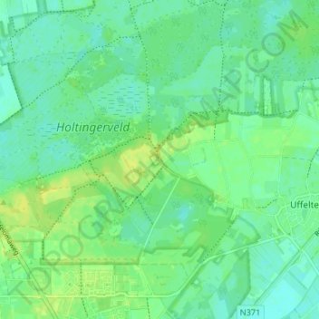
Name: Holtinge topographic map, elevation, terrain.
Location: Holtinge, Drente, Niederlande, 7975, Niederlande (52.77647 6.23142 52.81647 6.27142)
Average elevation: 8 m
Minimum elevation: 1 m
Maximum elevation: 17 m