
Indrica topographic map
Interactive map
Click on the map to display elevation.
About this map
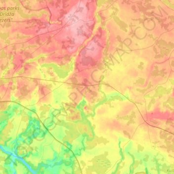
Name: Indrica topographic map, elevation, terrain.
Location: Indrica, Krāslavas novads, Latgale, Latvia (55.83095 27.35239 55.99185 27.49037)
Average elevation: 157 m
Minimum elevation: 93 m
Maximum elevation: 210 m
Other topographic maps
Click on a map to view its topography, its elevation and its terrain.