
大全村 topographic map
Interactive map
Click on the map to display elevation.
About this map
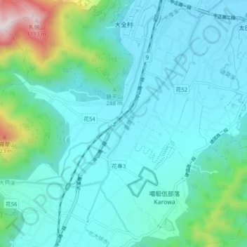
Name: 大全村 topographic map, elevation, terrain.
Location: 大全村, 光復鄉, 花蓮縣, 臺灣 (23.59605 121.38175 23.66576 121.44757)
Average elevation: 280 m
Minimum elevation: 108 m
Maximum elevation: 1,195 m