
Las Brisas topographic map
Interactive map
Click on the map to display elevation.
About this map
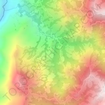
Name: Las Brisas topographic map, elevation, terrain.
Average elevation: 2,038 m
Minimum elevation: 1,626 m
Maximum elevation: 2,364 m
Other topographic maps
Click on a map to view its topography, its elevation and its terrain.
Río Chinchiná
Colombia > Caldas > Villamaría
Río Chinchiná, Villamaría, Centrosur, Caldas, 170008, Colombia
Average elevation: 1,966 m
Cabecera Municipal Villamaría
Colombia > Caldas > Villamaría
Cabecera Municipal Villamaría, Villamaría, Centrosur, Caldas, RAP del Agua y la Montaña, 176001, Colombia
Average elevation: 1,950 m