
Queta topographic map
Interactive map
Click on the map to display elevation.
About this map
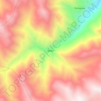
Name: Queta topographic map, elevation, terrain.
Location: Queta, Tapo, Tarma, Junín, Peru (-11.45576 -75.60420 -11.41576 -75.56420)
Average elevation: 3,913 m
Minimum elevation: 3,301 m
Maximum elevation: 4,276 m